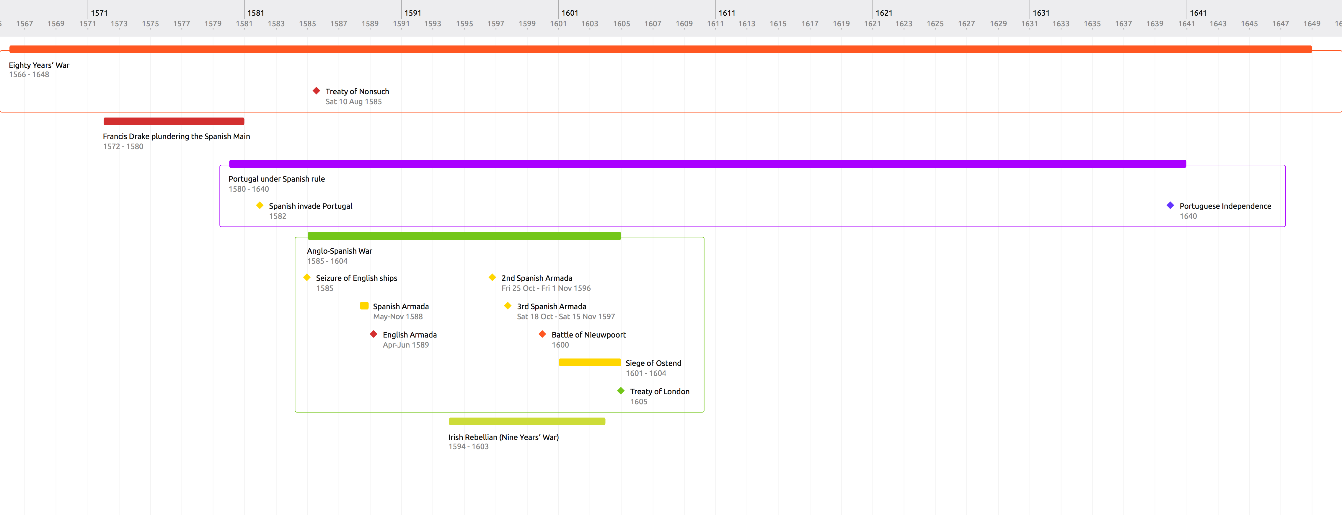
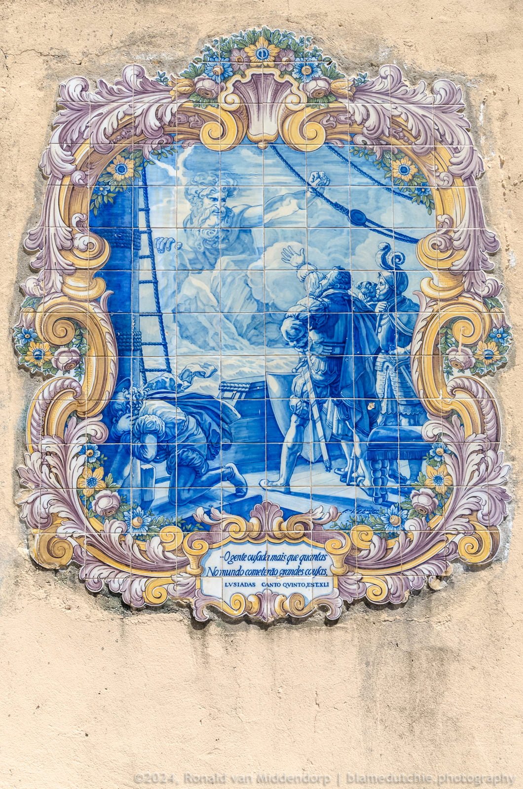
In the year 1589, the lines drawn on the maps were constantly changing. Large parts of our planet had not even properly been drawn and forms of state and government were evolving rapidly. Because of marriages amongst the influential families, quite a few countries were involved in various conflicts. And greed, let’s not forget greed.
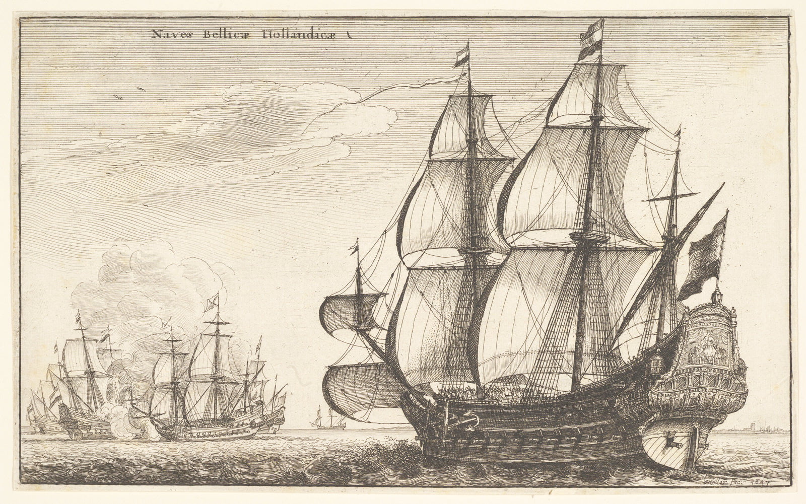
One of those conflicts was the Anglo-Spanish War. This specific conflict turned out to be of huge importance for the future divisions of the world and Europe in particular, because of alliances forged previously as well as during its progression. The war resulted in significant casualties for England, with an estimated 88,285 English soldiers and sailors killed during the conflict. I have not been able to find a number for total casualties on both sides.
The Anglo-Spanish War (1585-1604) was a complex and long conflict between England and Spain that was fought intermittently in various locations: Atlantic Ocean, British Isles, The Netherlands, France, Spain, Spanish Main, Portugal, Azores, Canary Islands. In fact, lately more and more historians postulate that – considering all the involved regions – the war deserves to be called a World War.
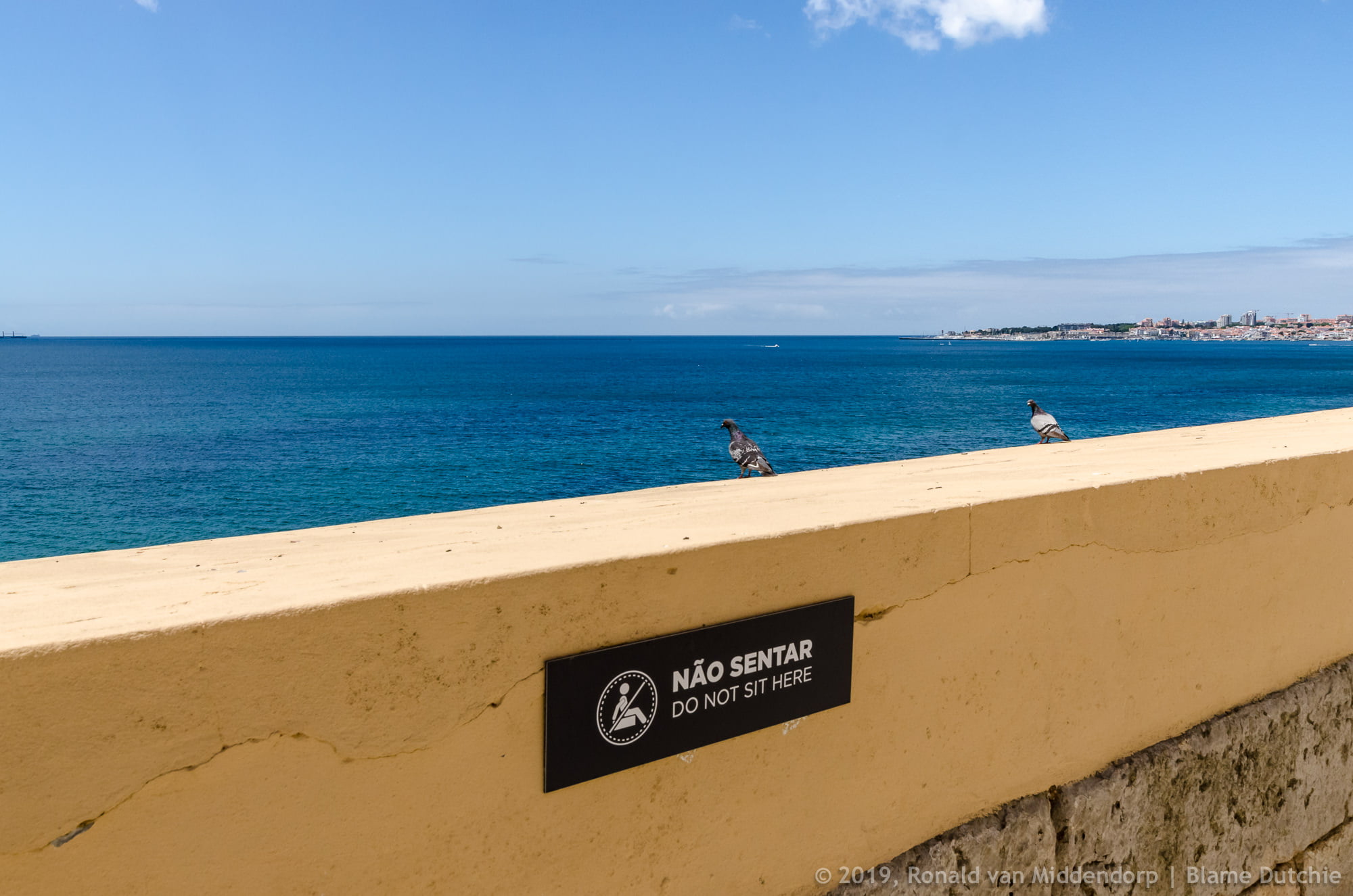
It was also the reason that King Philip II of Spain, ruling Portugal as King Philip, decided he needed to fortify the Portuguese coast against possible British and Dutch attacks. When I read that on a plaque on one of the forts still standing, I got curious about the reasons for the conflict, as well as the connections between the various nations on either side. For that, I had to establish a time line and rediscover what I learnt in school over four decades ago. Why? Because that is how my brain works. It has a curiosity feature. Long live the internet.
Early years
As early as 1386, Portugal and England established the oldest alliance between sovereign states. The Treaty of Windsor ensured that Portugal and England would never wage war against each other and provided mutual support in times of need.
After a bloody succession war, Philip II of Spain assumed the Portuguese throne and was crowned Filipe I of Portugal on 17 July 1580.
In 1582, Spain invaded Portugal, which was part of a broader strategy to isolate England and support the Spanish Netherlands against the Dutch rebels, who had established the Republic of the Seven United Netherlands in 1579 and declared their independence in 1581. The invasion was repelled by the Portuguese forces.
The Dutch Republic, although small in size as well as numbers (approximately 1.5 million inhabitants), controlled a worldwide network of successful seafaring trade routes. Through its trading companies, the Dutch East India Company (VOC, 20 March 1602) and the Dutch West India Company (GWC, 20 March 1602), over time it established a Dutch colonial empire. The income from this trade allowed the Dutch Republic to compete militarily against much larger countries. It was able to put together a huge fleet of 2,000 ships, initially larger than the fleets of England and France combined.
It was not without reason, that the Spanish/Portuguese king thought attacks to the Portuguese shore in the near future were highly probable. Especially, since Portugal supported the England during the Anglo-Spanish War that had started in 1585. In the early stages of this war, despite being an ally of England, Portugal maintained its neutrality.
Fortification plans
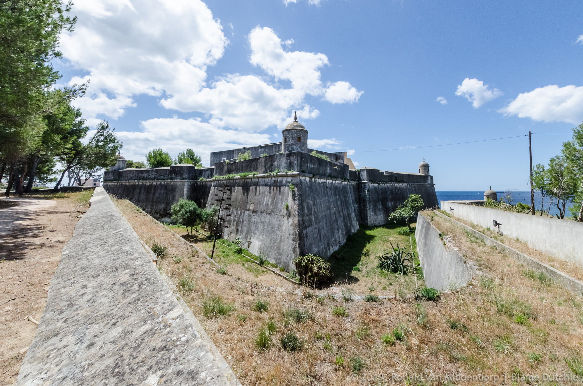
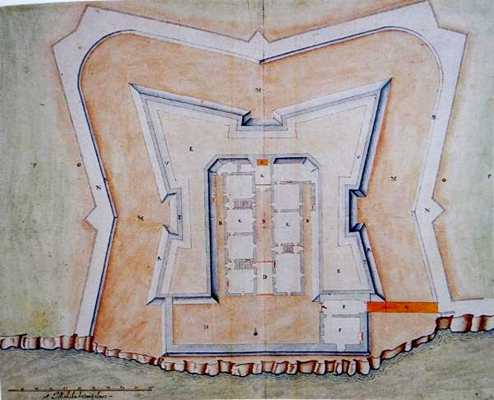
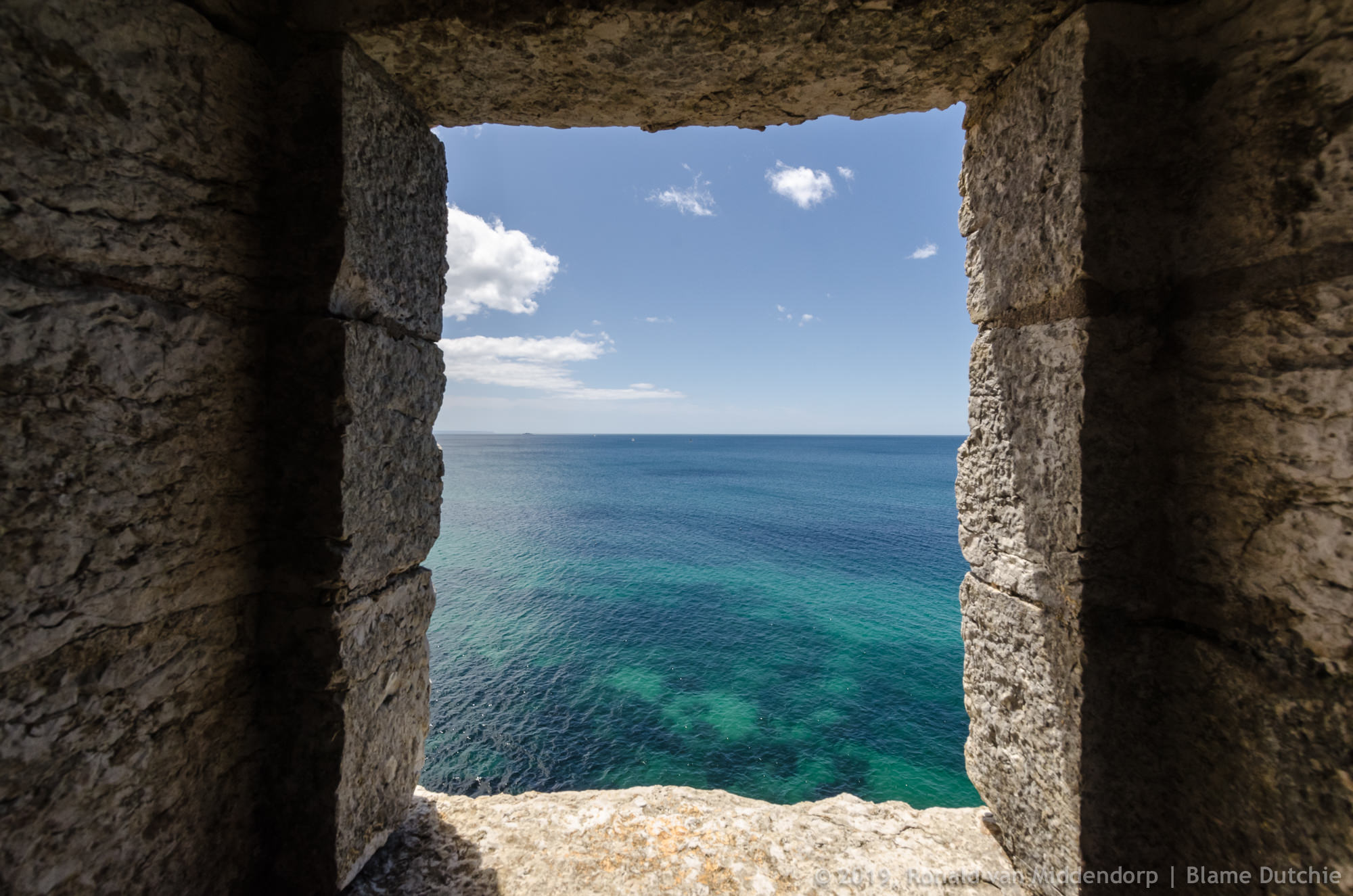
At the end of 1589, Filipe I of Portugal ordered the construction of a fortress between Cascais and São Julião da Barra to be included in Lisbon’s defense plans. Artillery fire could also stop enemy ships that intended to head to Lisbon through the “barra Pequena”, the channel closest to land.
The project for the Fortaleza de Santo António da Barra – named after the Franciscan monastery of Estoril – was handed over to the Italian engineer Frei Vicêncio Casale. On December 23, 1589, he informed the monarch, now Filipe II of Portugal, that he had selected the ideal place to “take away the enemy’s landing and drinking water” and prevent their “passage through the channel to wait for the tide and favourable winds”.
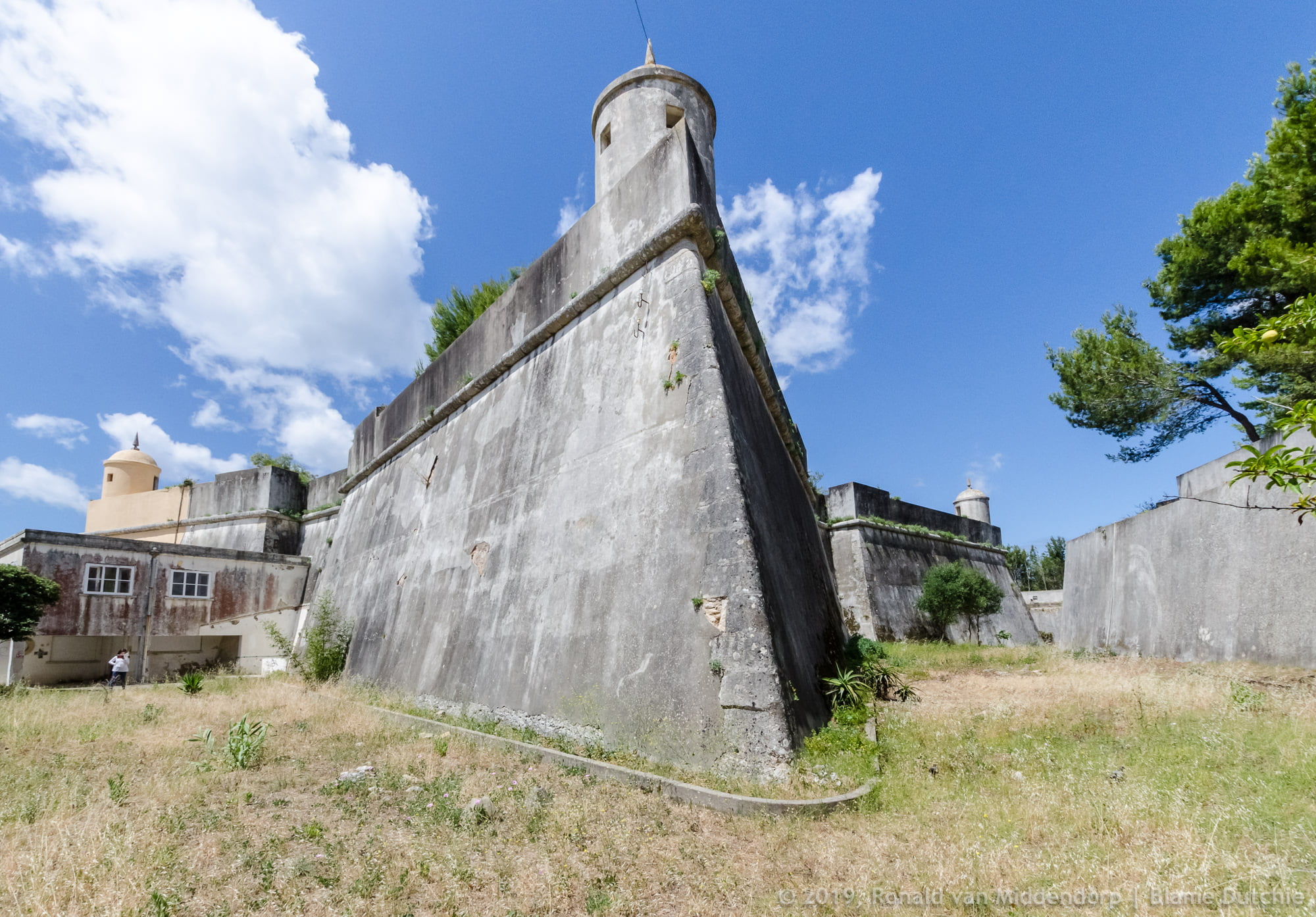
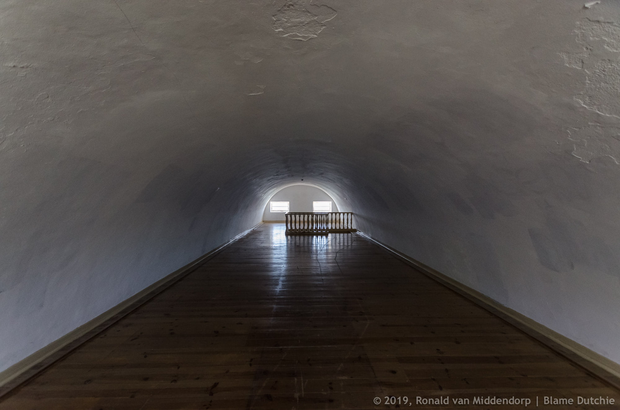
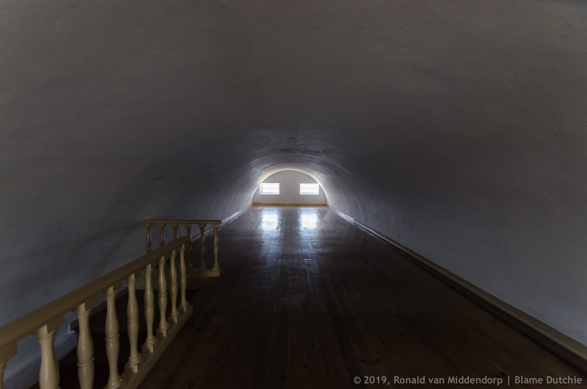
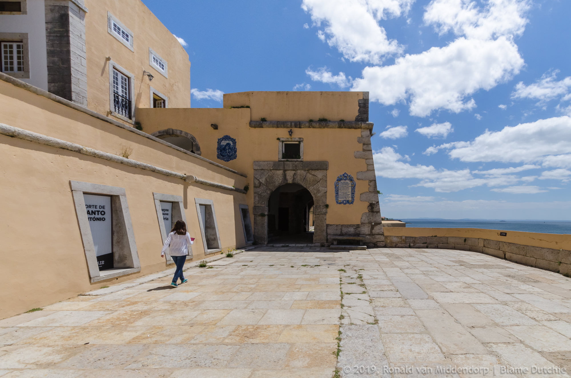
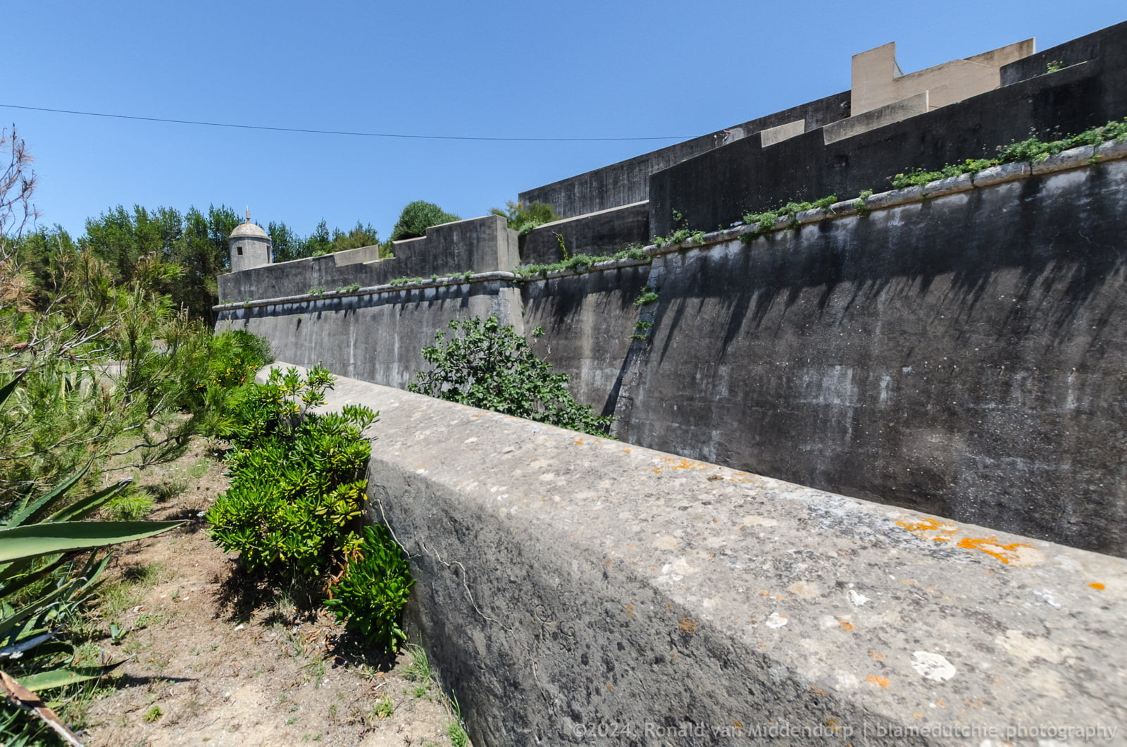
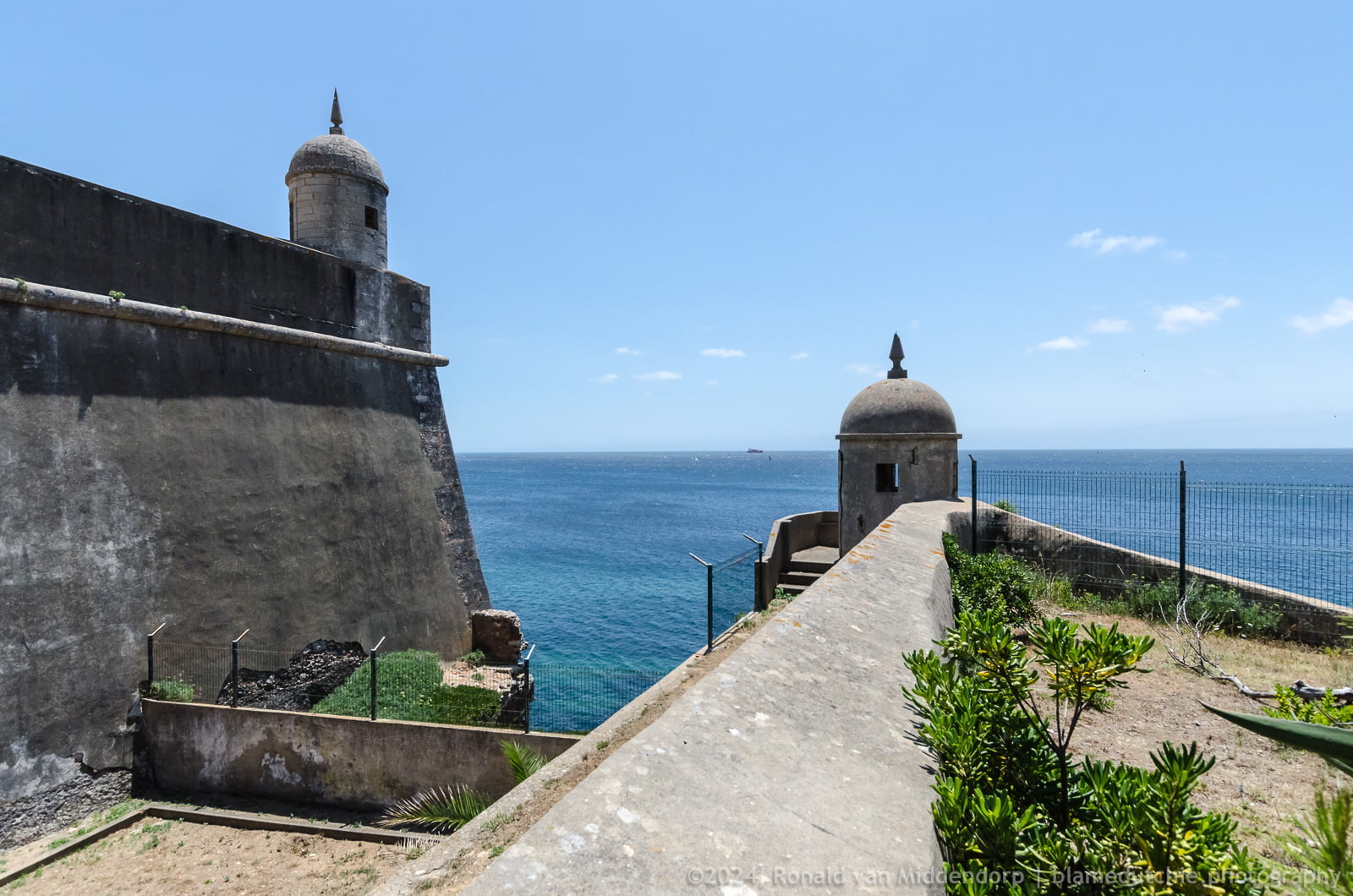
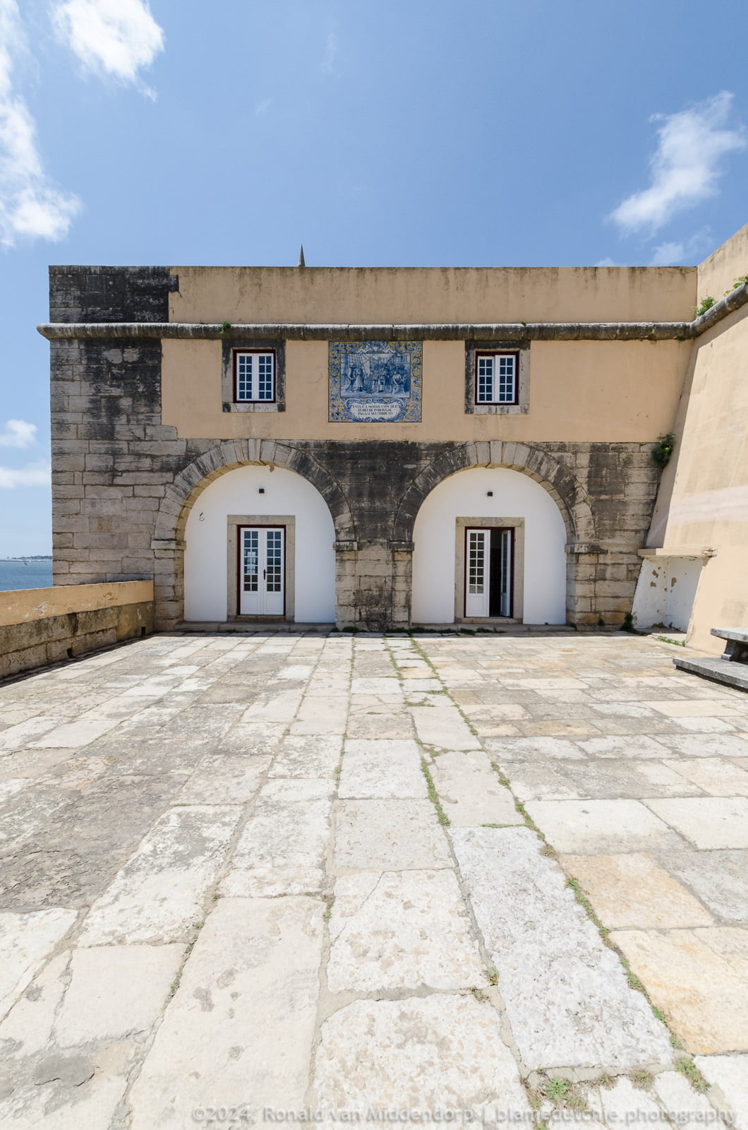
Although he initially proposed the construction of a small fortification, he ended up opting for a reasonably sized construction, equipped with four bastions. On February 16, 1591, the fortification in its basic form was able to house personnel and artillery.
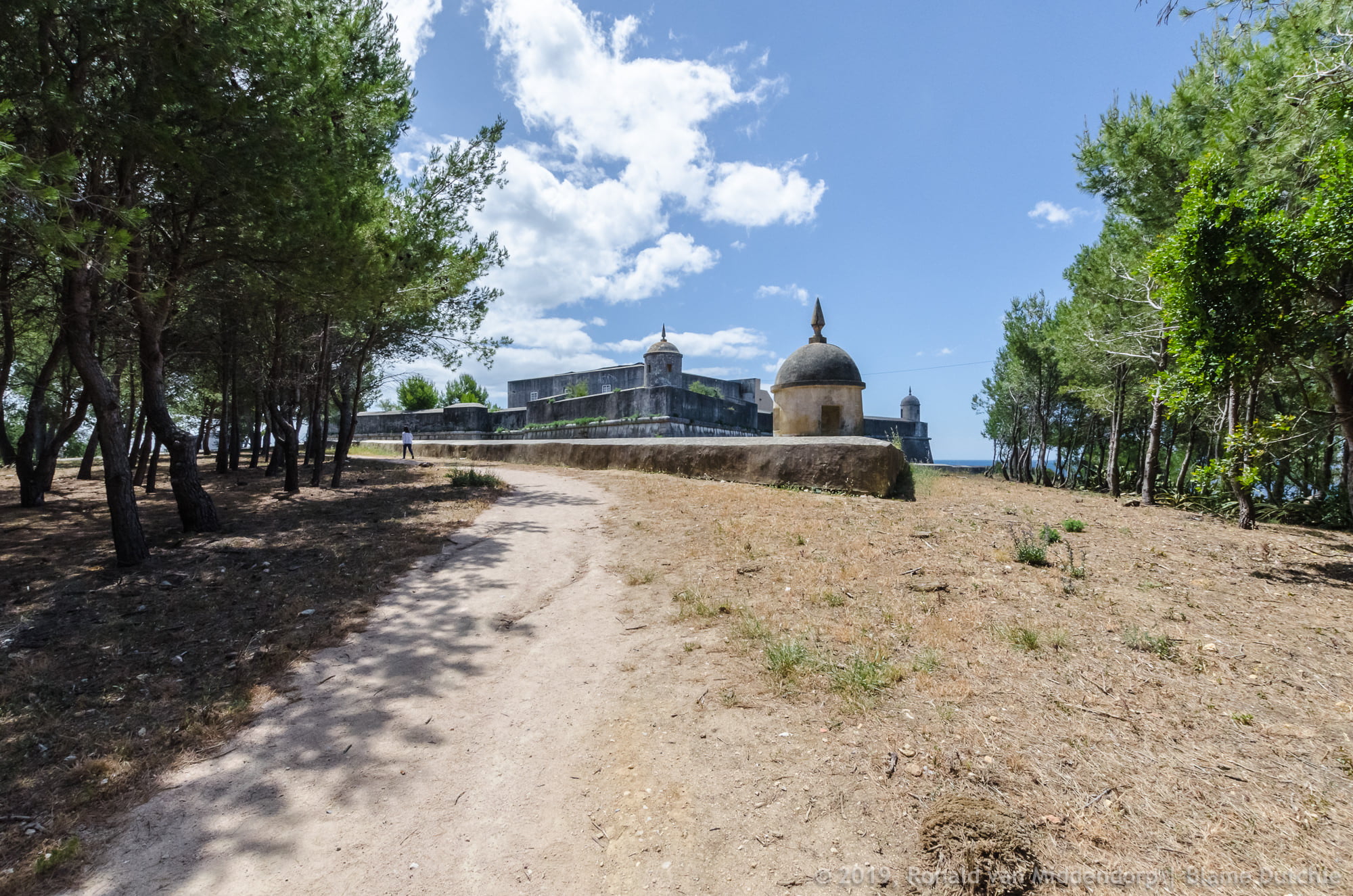
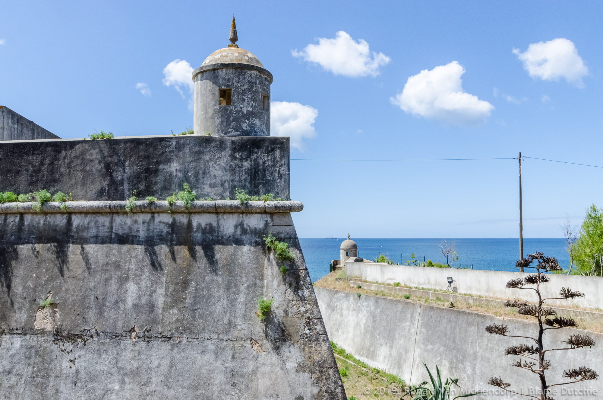
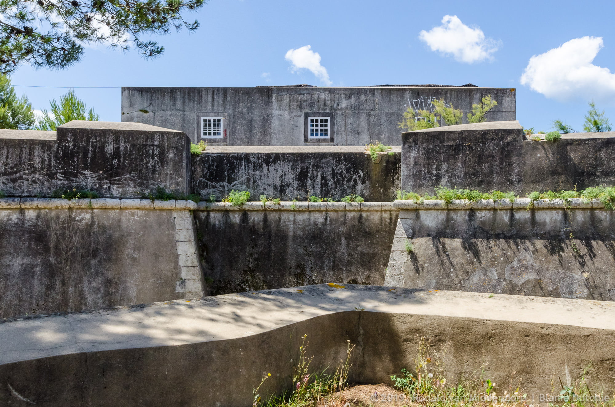
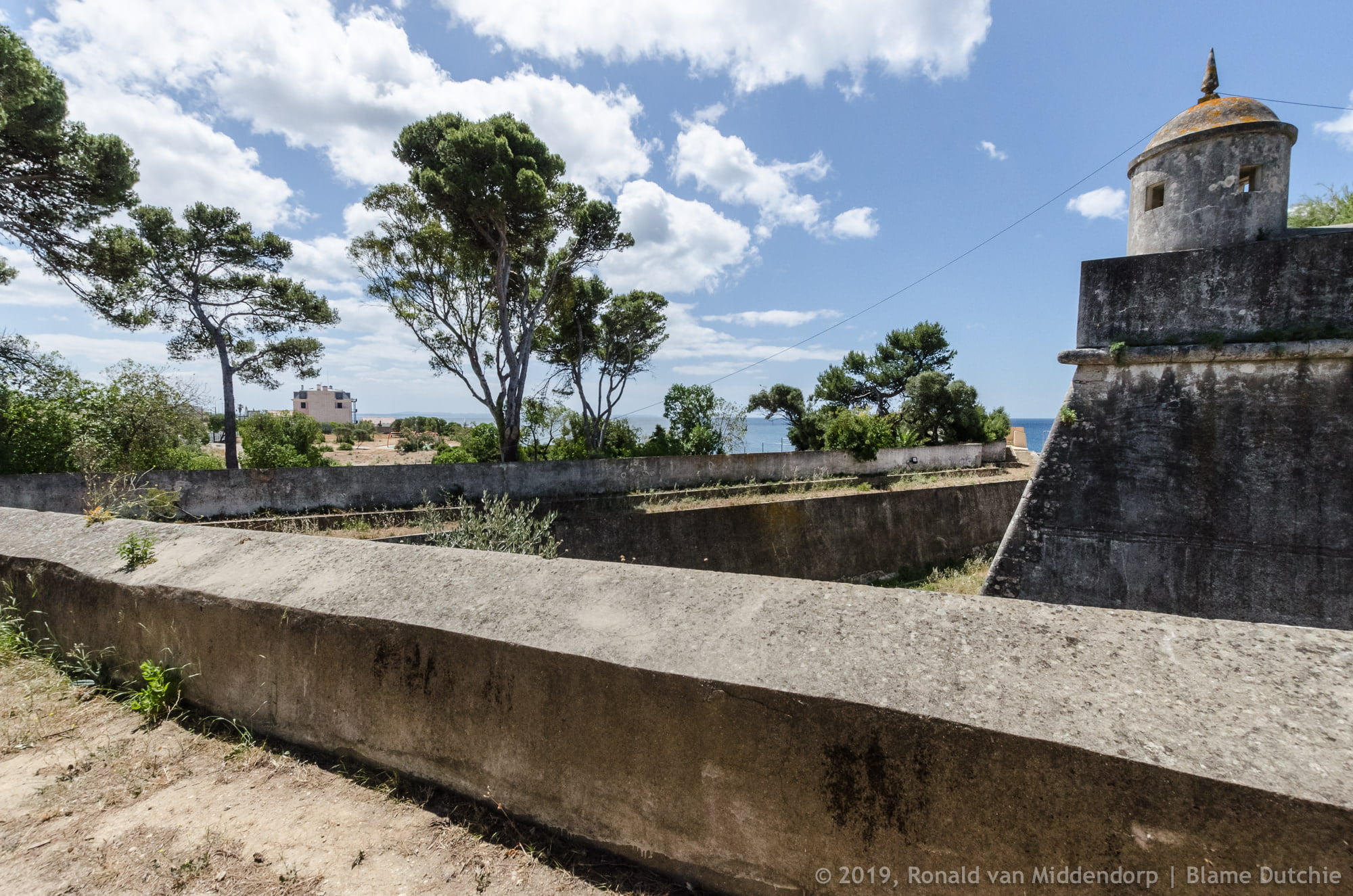
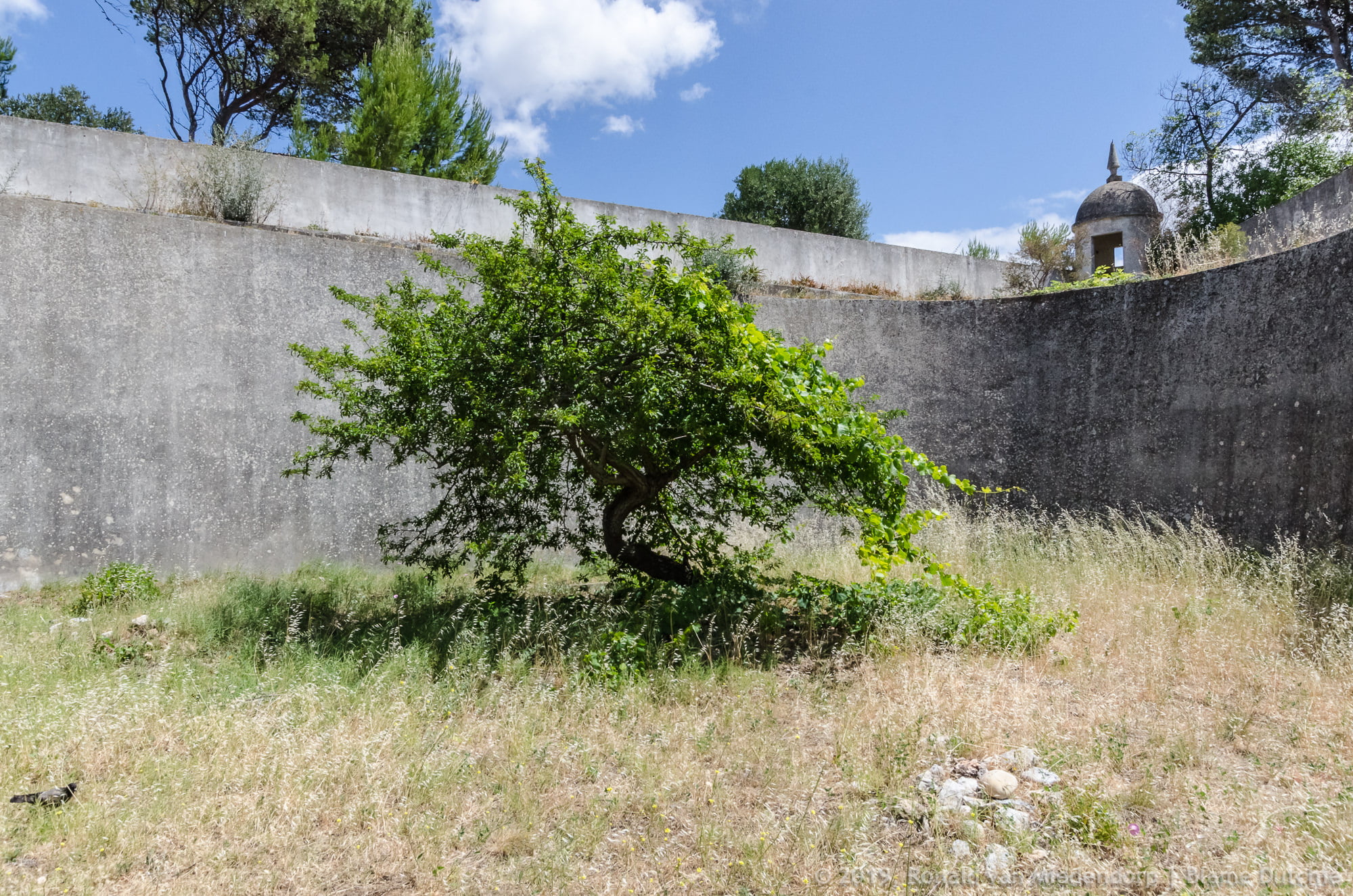
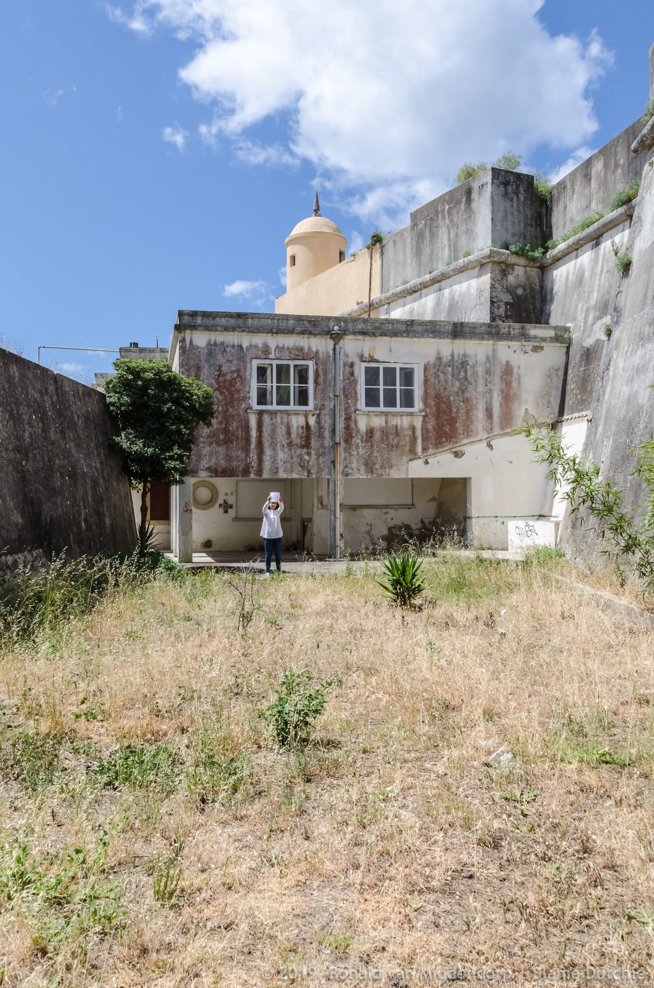
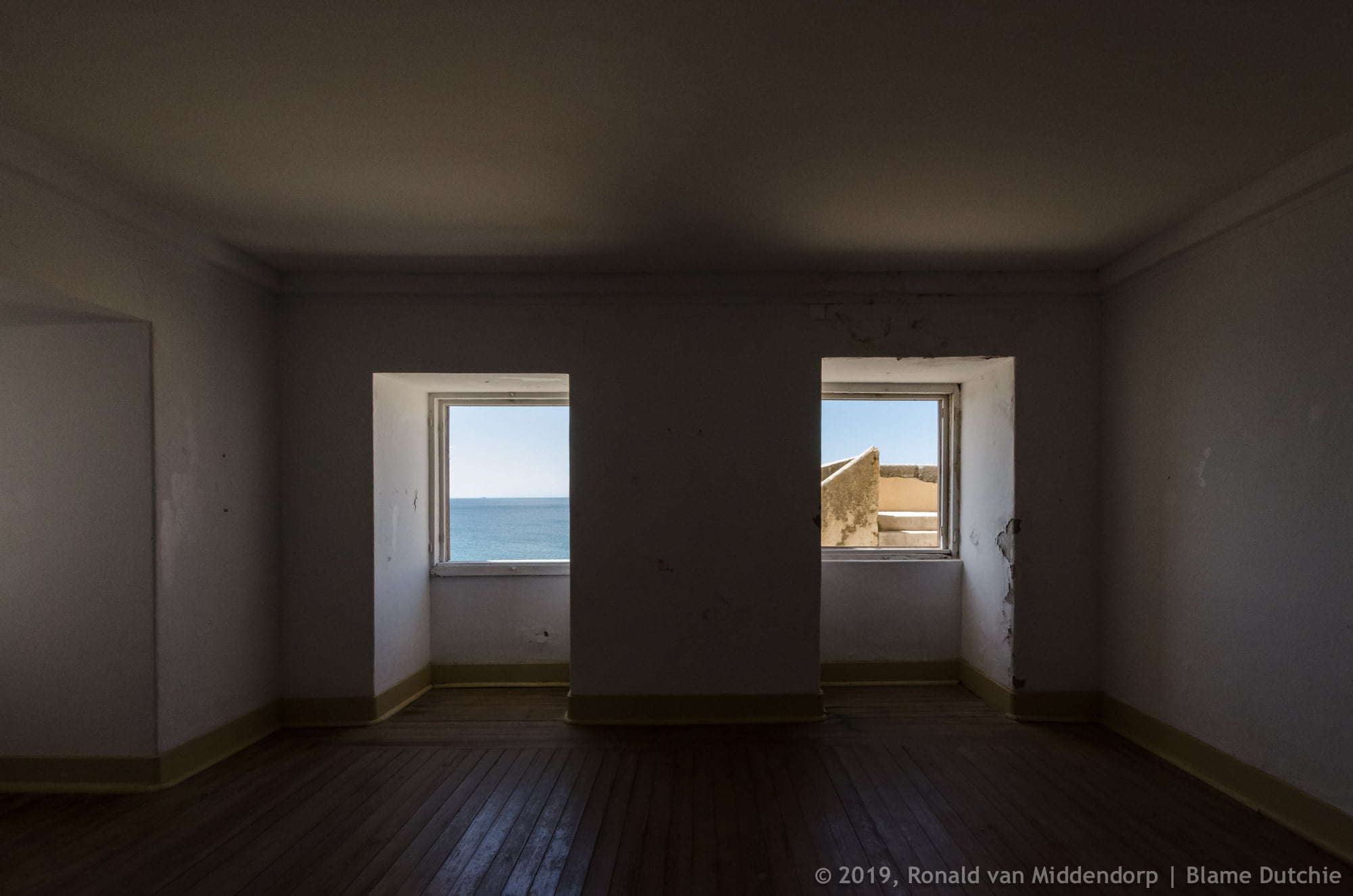
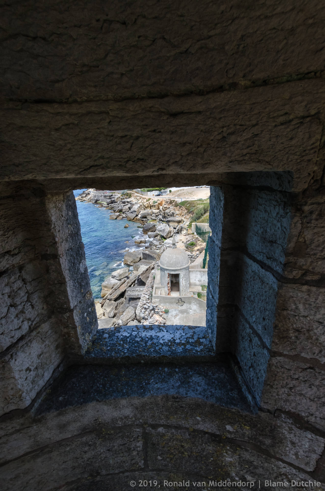
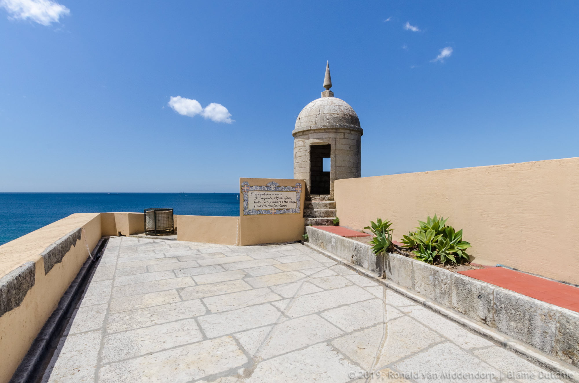
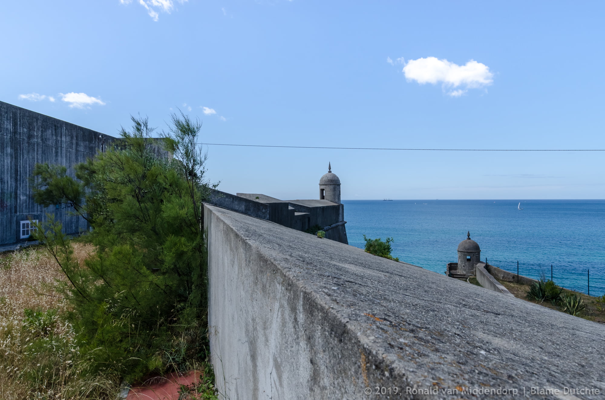
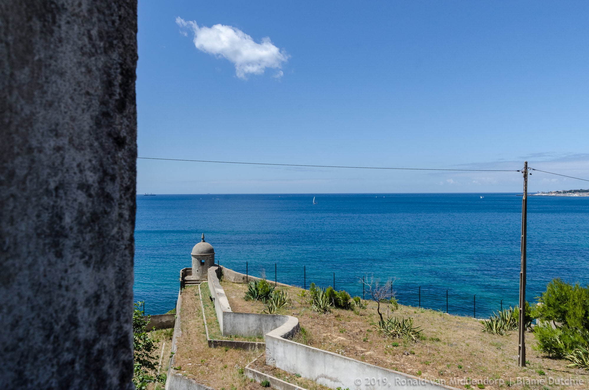
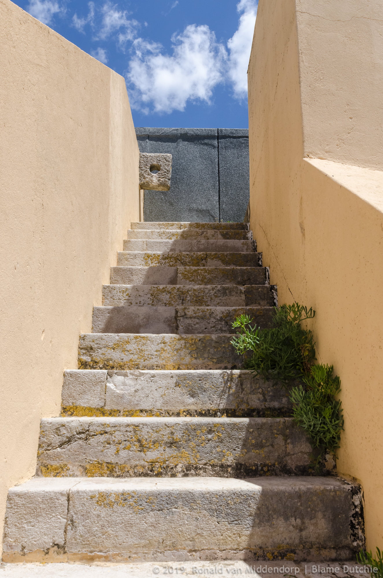
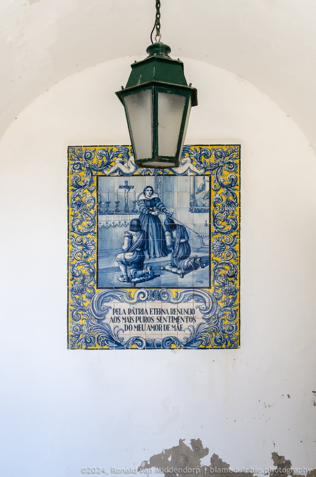
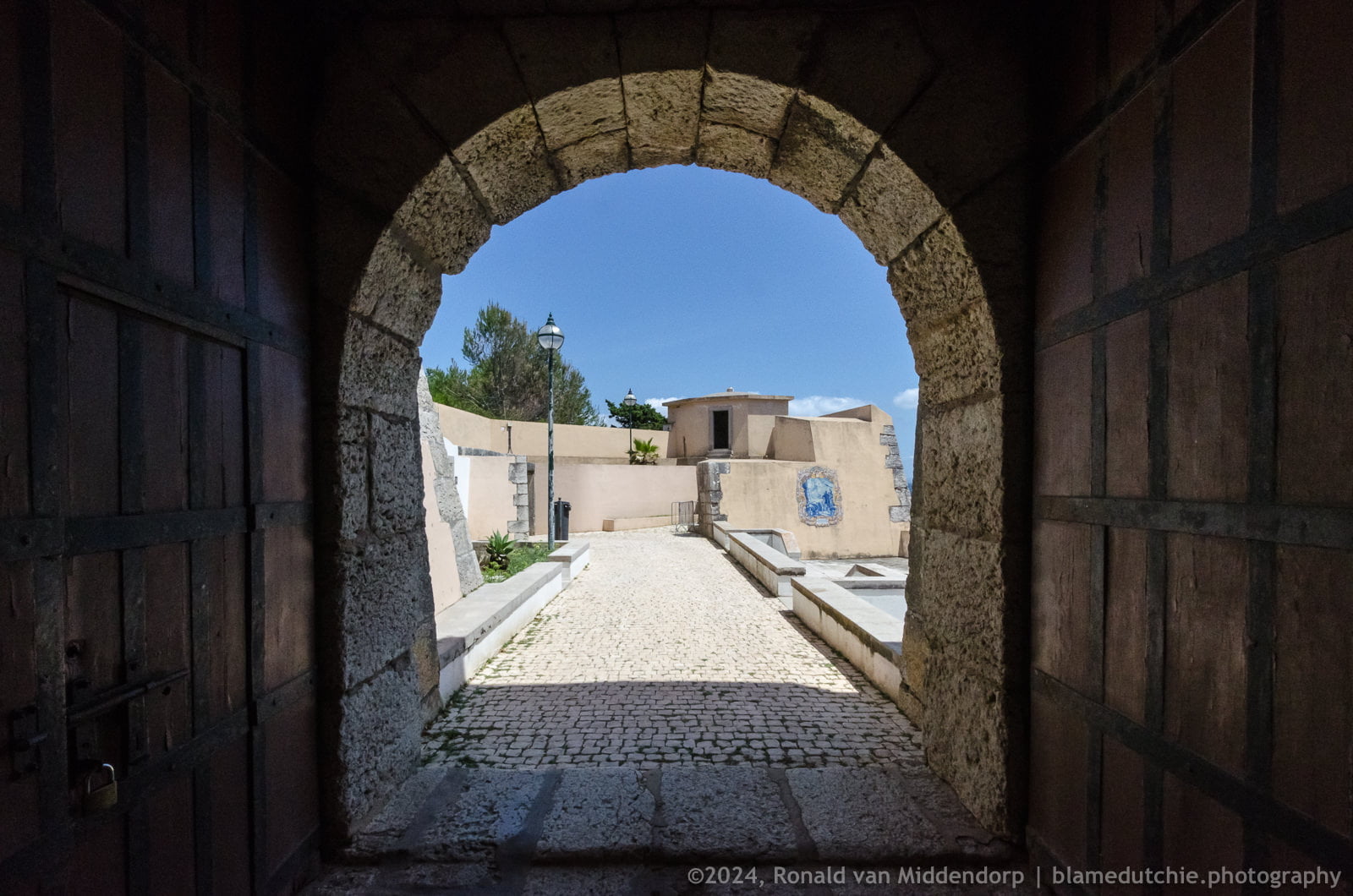
In the 17th century coastal fortification network further developed in the context of the Acclamation War which began with the Portuguese revolution in 1640. The fort consists of a quadrangular floor plan, composed of two bastions facing the land and two half bastions facing the sea, forming very short flanks and curtain walls; It integrates a dry moat with a covered road, a low square with a battery, a high battery and a building complex intended for barracks, the governor’s house and artillery stores.
The fort constitutes the most important intermediate point of coastal defense between the Forte de São Julião da Barra and the Forte da Nossa Senhora da Luz / Citadel de Cascais, designed as such since the 16th century and in addition to the Fort of São Lourenço da Cabeça Seca / Bugio, also designed by Vicêncio Casale. In the 17th century this maritime defense system was reinforced with forts, batteries and complementary rifle lines.
During the 20th century it also underwent changes, adapting the fort to its new functions:
1897 – ????: Tax Office to control the smuggling of good
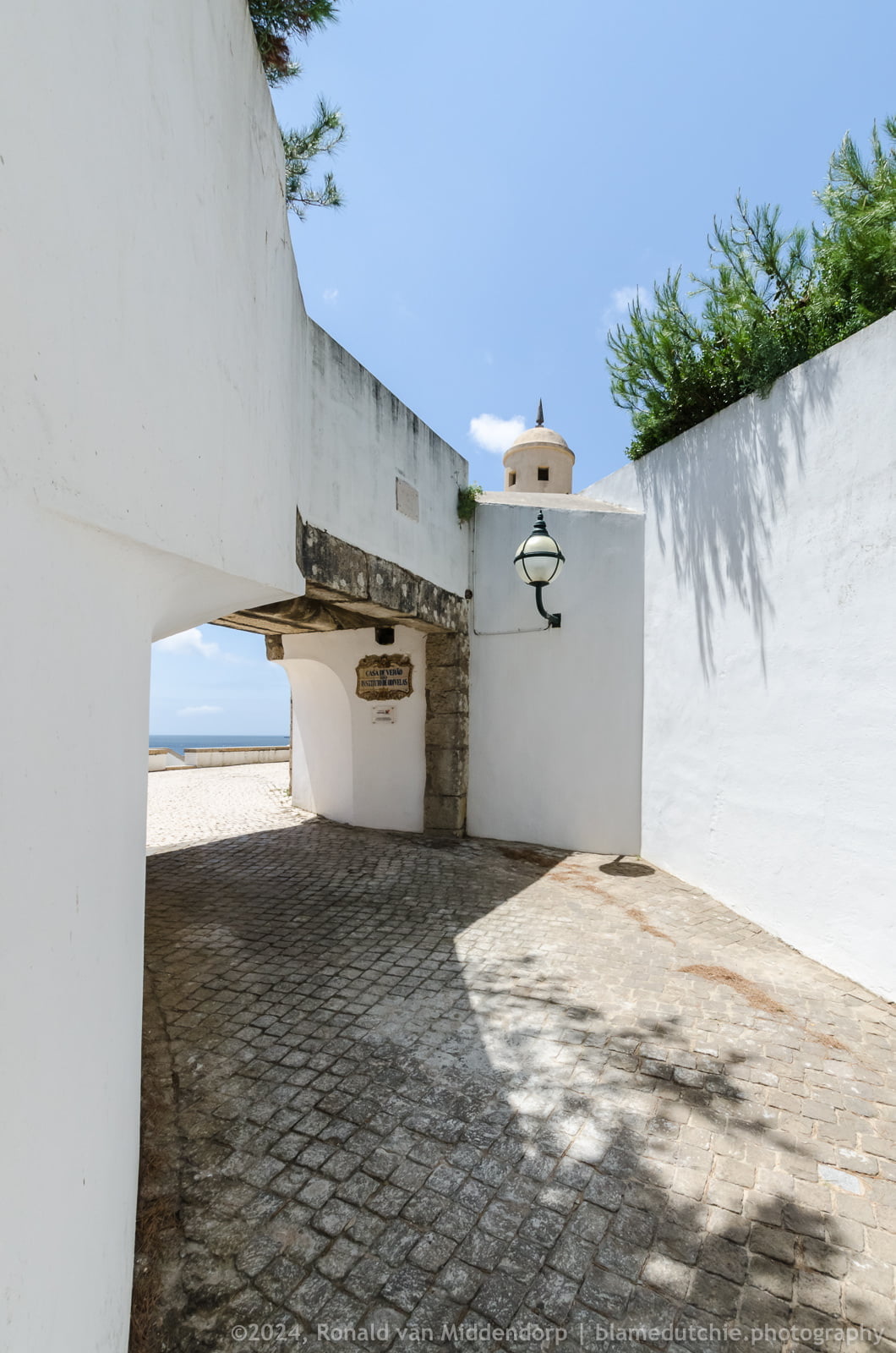
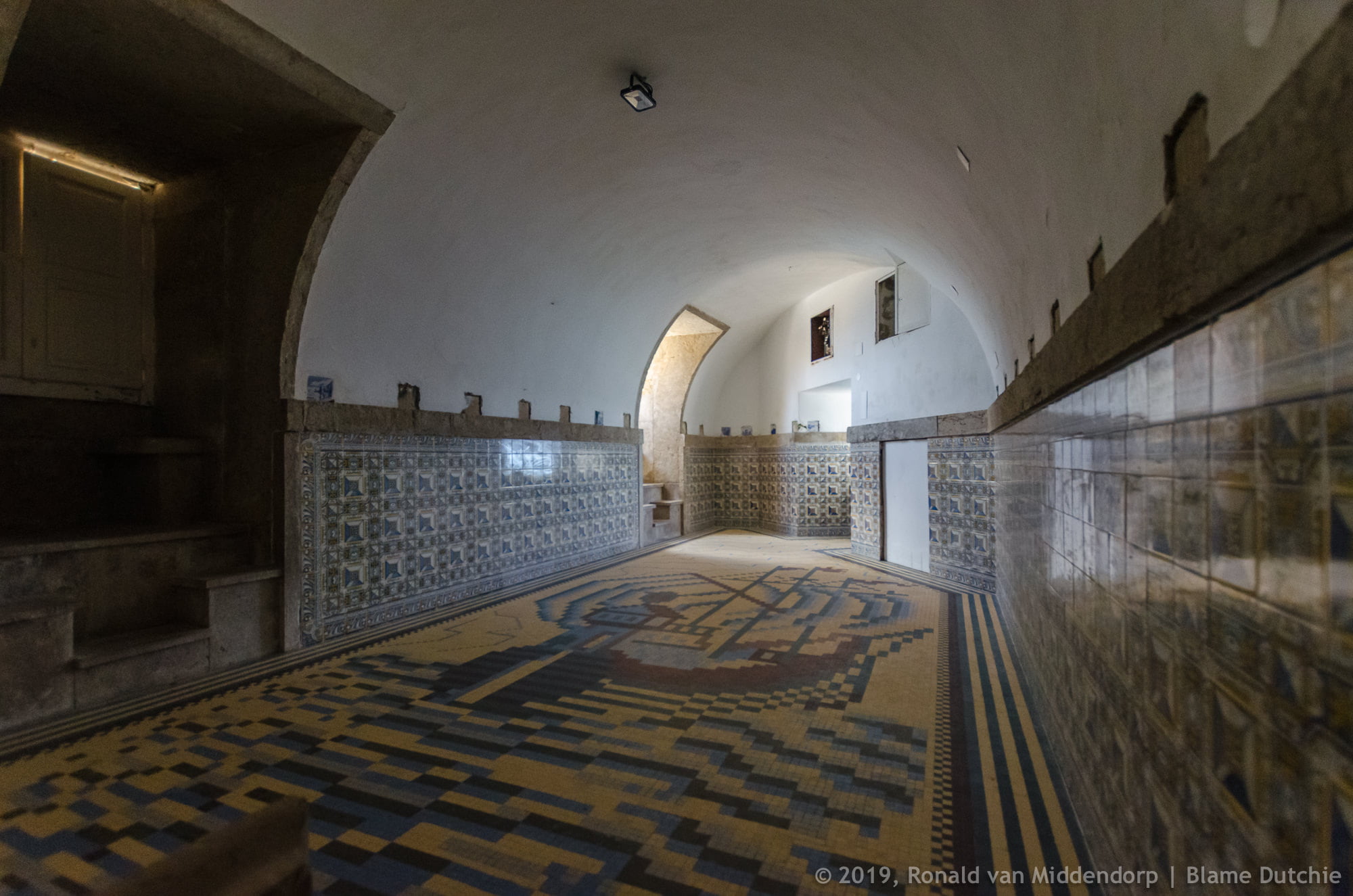
1915 – 2015: Holiday Camp of the (Military) Women’s Institute of Education and Work of Odivelas
1950 – 1968: Summer residence of the then President of the Council, António Oliveira Salazar
On August 3, 1968, Salazar would suffer a domestic accident, when he fell while off a chair. Apparently, this fall effected him both physically as well as mentally, speeding the decline decline of his regime. The worsening of his condition led to the appointment, on September 18, of Prof. Marcello Caetano as President of the Counsil.
Later, the fort was listed as a Property of Public Interest through Decree nº 129, dated September 29, 1977.
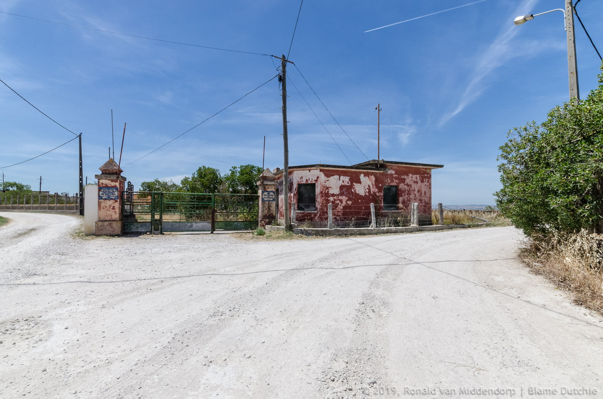
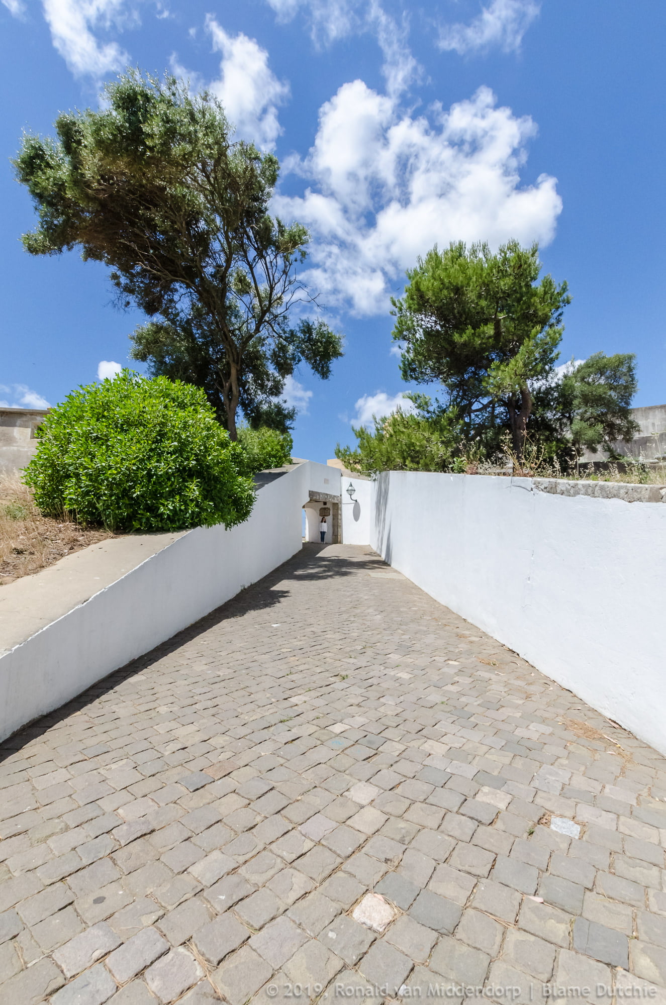
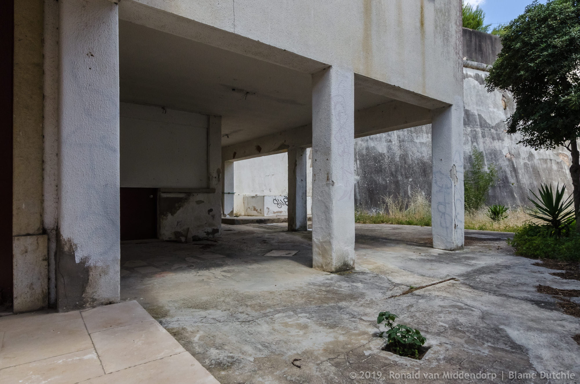
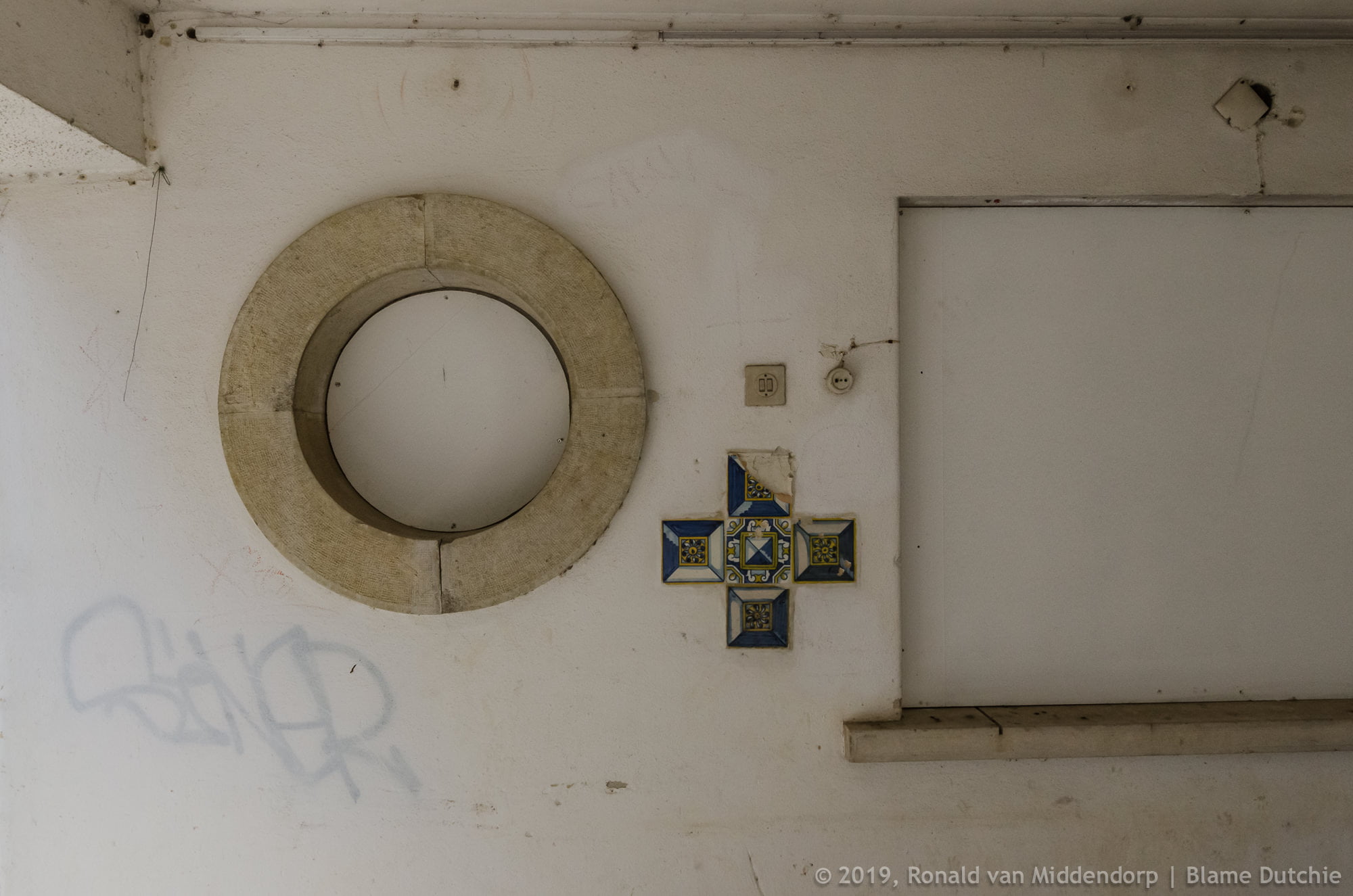
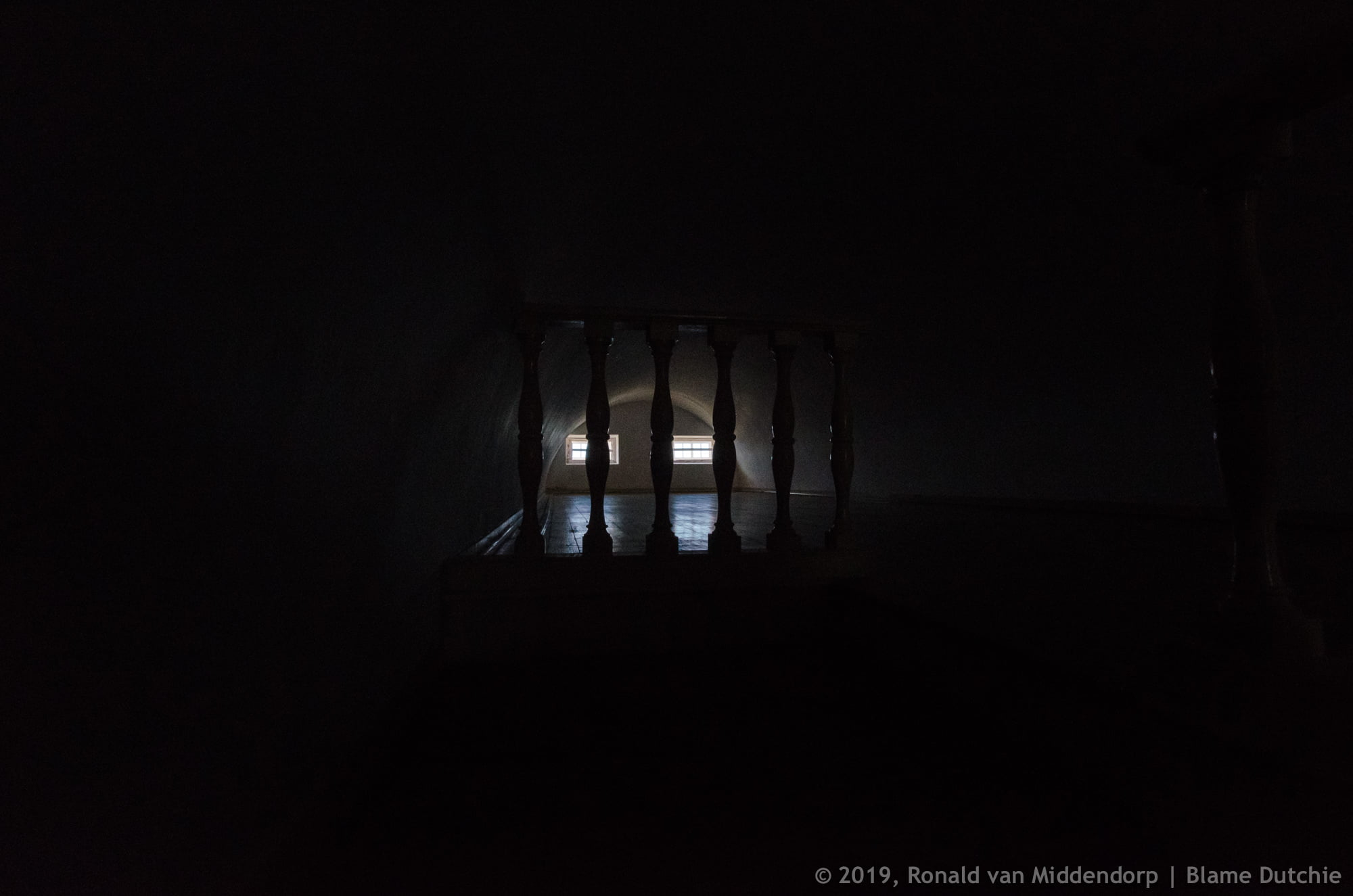
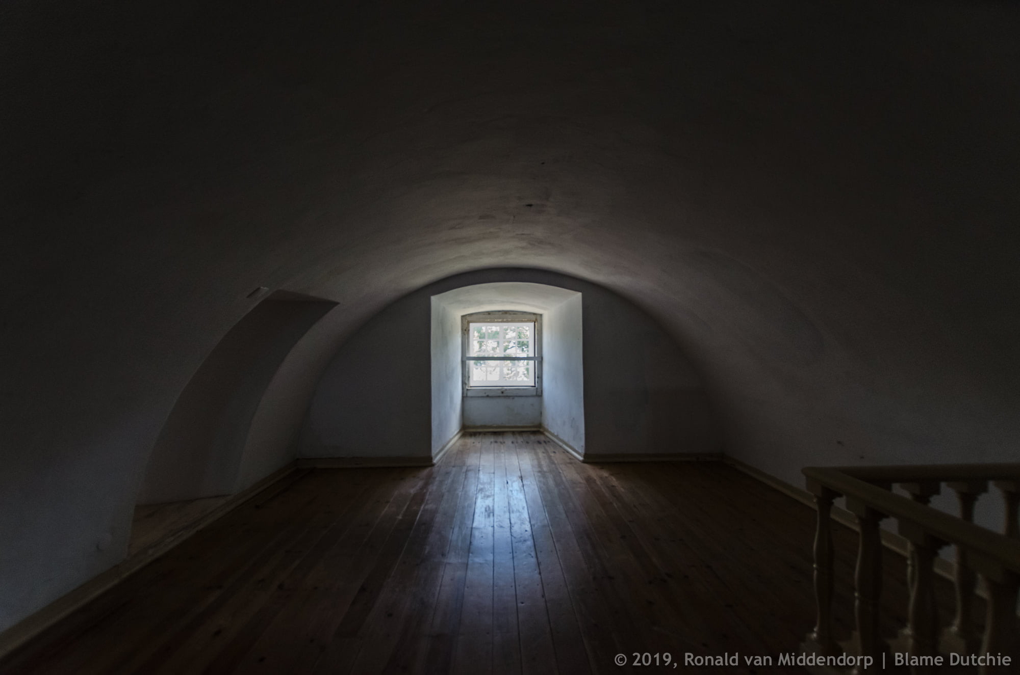
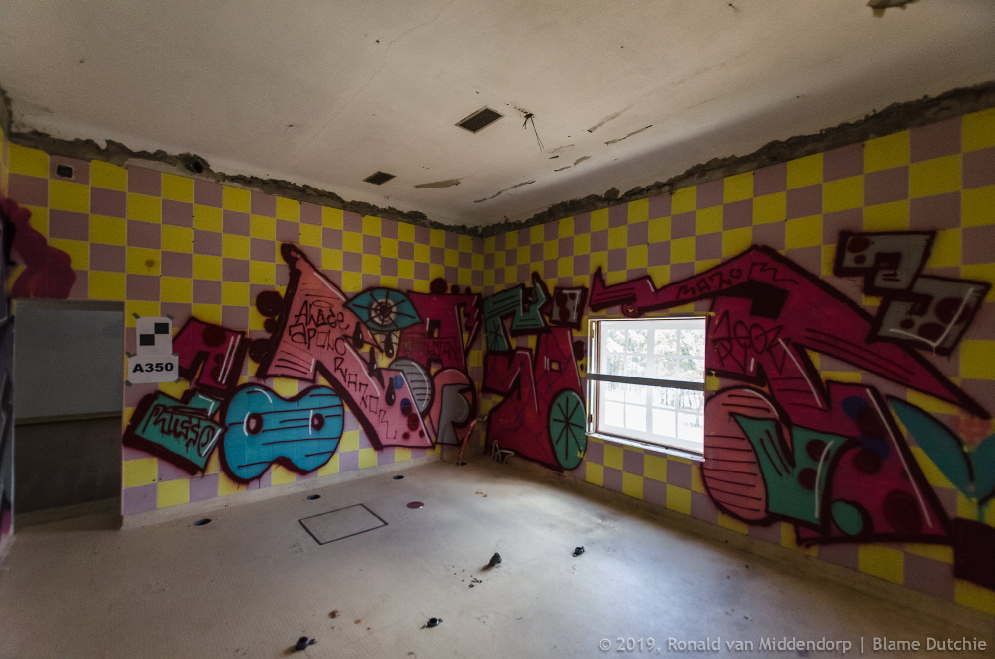
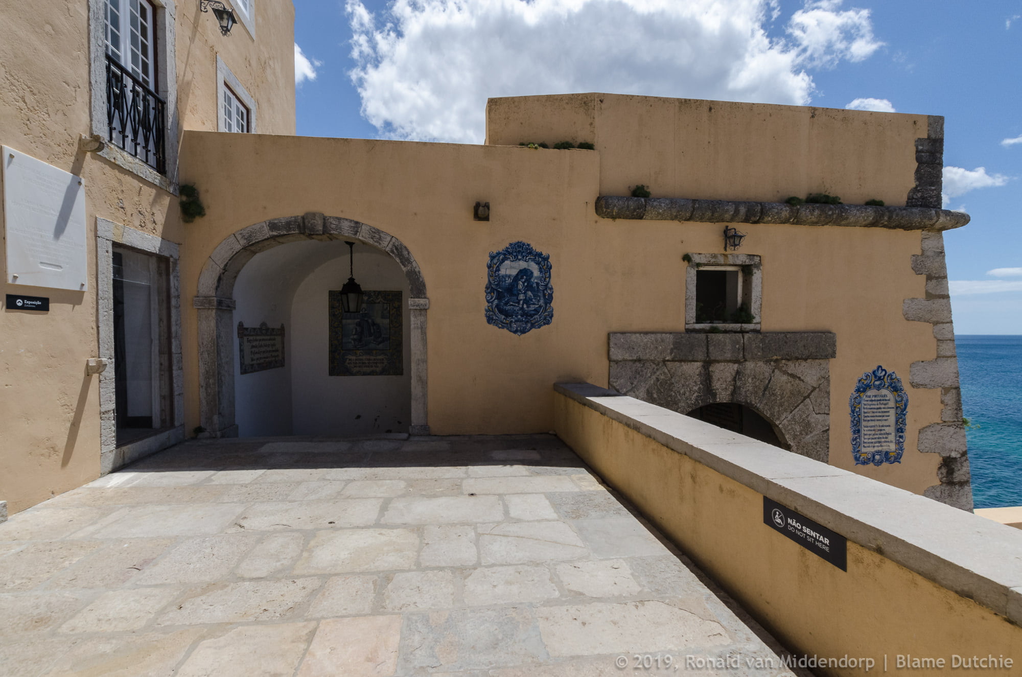
When the Institudo de Odivelas was ordered to close, after the academic year 2014/2015, the fort was closed and abandoned. As usual, there were plans for restoration, there was a plan for an oceanic research centre, but nothing happened and the construction went into decline. Graffiti artists, homeless and junkies took up residence. It took a fire and attention from several news agencies to provoke some action.
Following a report from RTP1’s Linha de Frente program, in February 2018, the Ministry of National Defense placed notices around the fort’s perimeter, but did not carry out any repairs that would prevent unauthorized entry into the location. For its part, the Cascais City Council lamented the lack of initiative to restore the fort, estimated at 6 million euros, and the case has even reached Parliament and the courts.
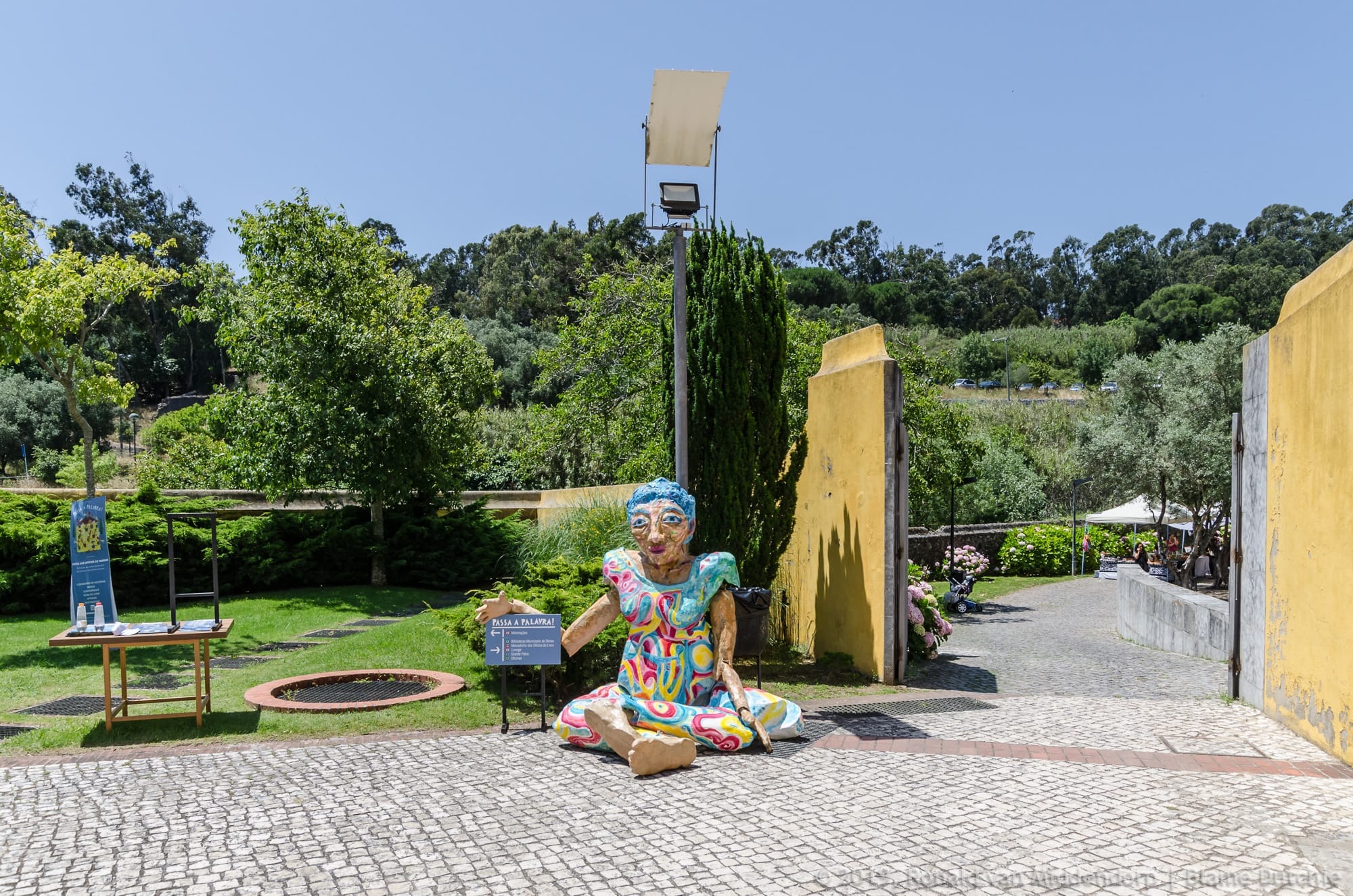
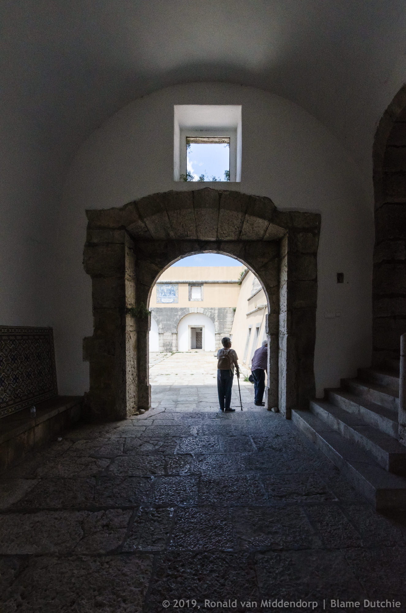
On March 13, 2018, the property was handed over – for the duration of one year – by the Ministry of Defense to Cascais City Hall, which restored the fort. The first public event at the site consisted of the April 25th celebrations. Since March 2019, it has been open to the public during weekends and holidays. Part of the grounds is occupied by an outdoor training facility, that is only opened to the public during the opening hours of the fort. Unfortunately, nobody appears to know which organisation is responsible for maintenance and repairs of the equipment – as I discovered when I tried to report that some of it was broken after not being in use during the COVID-19 pandemic.
Some things just don’t change.

Sources:
- Wikipedia – The Treaty of Nonsuch
- Monumentos de Portugal
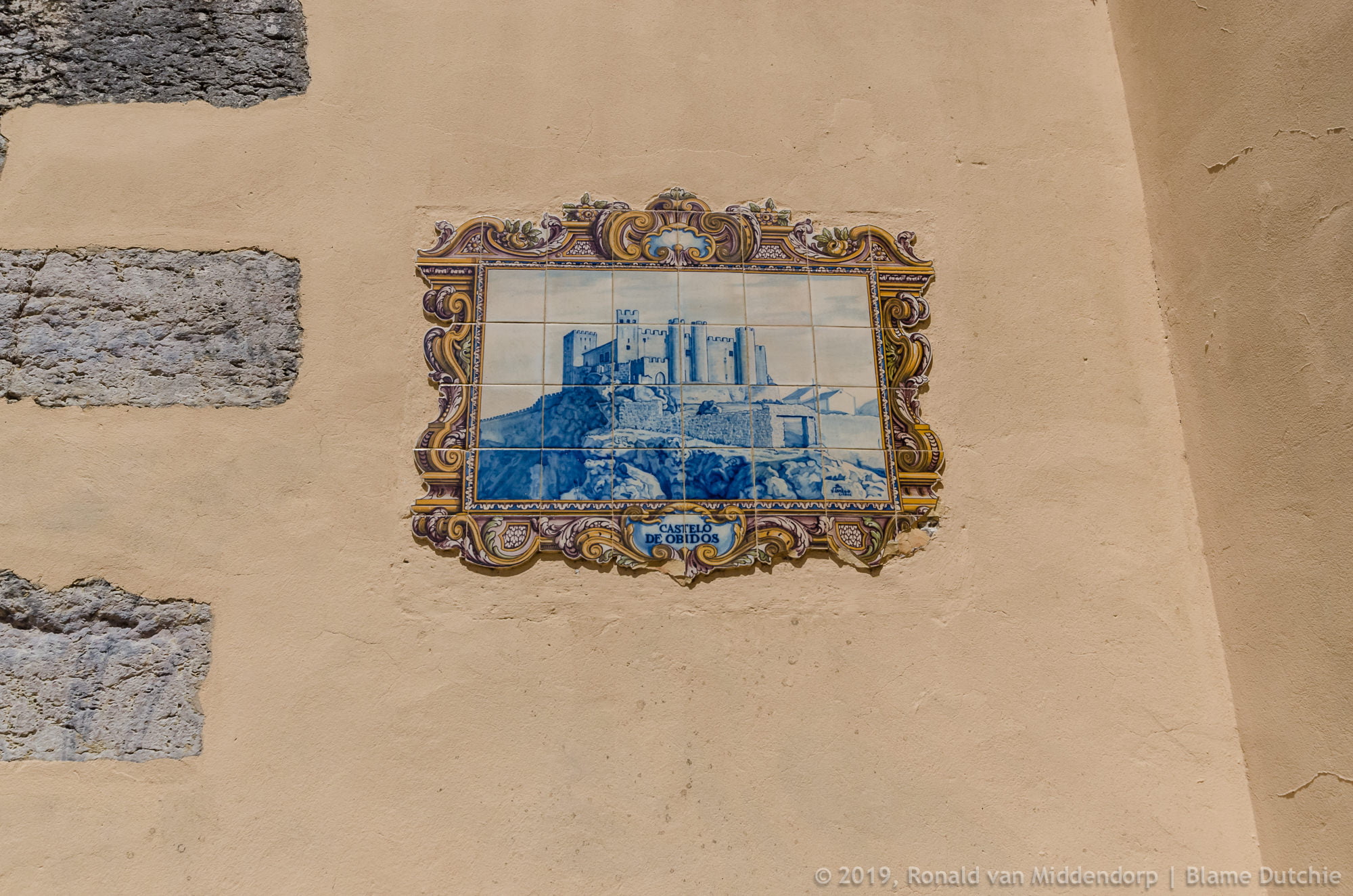
- Wikipedia – Forte de Santo António da Barra
- Reddit MapPorn – The Anglo-Spanish War, 1586-1604
- Encyclopedia.com – The Western Invasion: Warfare Between England and Spain in North America, 1585–1604